800 results for
Map of florida
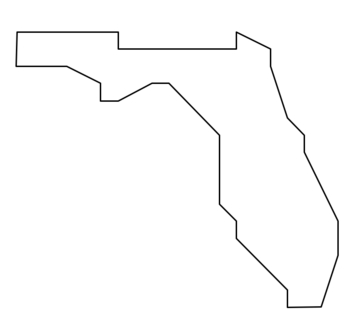
Coordinate Graphing / Ordered Pairs OUTLINE MAP of FLORIDA
This is a coordinate plane activity that combines math and geography / social studies. Students plot the coordinates and connect the points in consecutive order to form a picture of an outline map of one of the U.S. States. This one is the state of FLORIDA. Drawing contains 26 ordered pairs, all in the 1st quadrant (positive integers only) Product will be sent WITH ANSWER KEY in pdf form. Note: I'd make the key into a transparency for quick checking. Click "Ask a question" if you'd like me to ma
Subjects:
Grades:
3rd - 7th
Types:
I Am on the Map of Florida Make and Take Book
**UPDATED File...At the request of a buyer, I added Black and White pages for coloring and a mini book to save the trees!! Hope this will be helpful
This is a File created for a teacher in Florida...if I can change the state to suit your needs, please let me know! I am happy to help.
I use this mini book in conjunction with teaching map skills in my 1st grade class.
Subjects:
Grades:
K - 2nd
Types:
SS.3.G.1.4 Purpose of Maps - Florida Social Studies 3rd Grade Geography
This no-prep reading passage comes with graphic organizers, a vocabulary matching activity, multiple choice questions, and a short answer writing prompt, as well as a map characteristics matching activity. Your students will be engaged while learning about the purpose of different kinds of maps.If you want to integrate social studies into your ELA curriculum, this is perfect because it's academically aligned for both subject areas. You can even leave it for sub plans or homework packets!2023 and
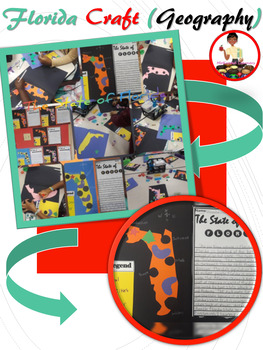
State of Florida Craft | Maps Skills | Florida Project
There are a ton of great benefits to crafting with your students. My kiddos were super engaged and enjoyed every minute of creating their Florida craft after we learned about the state we live in. The Florida Craft is fun and easy to assemble for great classroom decor and authentic student work in geography/social studies.
Grades:
K - 5th
Types:
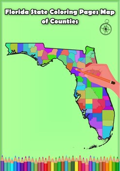
Florida State Coloring Pages Map of Counties Highlighting Rivers Lakes Cities
Click Here>>> for more interactive resourcesFlorida State Coloring Pages Map of Counties Highlighting Rivers Lakes CitiesOpen your mind to Florida colorful adventure with these exciting coloring pages! Explore and bring each Florida county to life with these detailed and engaging illustrations. Each page offers a unique opportunity to explore Alabama's geography, highlighting its rivers, lakes, and key towns.These coloring pages are ideal for anyone interested in discovering the beauty
Grades:
PreK - 12th, Higher Education
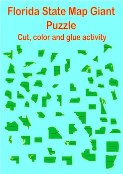
State of Florida Giant and Small Puzzle Map of County
State of Florida Giant and Small Puzzle Map of CountyStudents engage in an exciting puzzle activity to create a massive map of the state of Florida. Through this hands-on experience, students discover all the counties in Florida in a fun and engaging way and learn how they fit together.In this project, students must recognize the distinct shapes of each county and carefully arrange them to construct a vast map suitable for wall display.This activity promotes the development of spatial awareness
Grades:
PreK - 6th
Types:
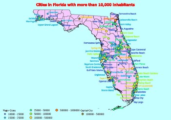
Map of large cities in the state of Florida ranked by population
Click Here>>> click here to subscribe to our storeMap of large cities in the state of Florida ranked by populationDiscover and explore cities in the state of Florida with this exciting series of population-based maps!This resource contains three separate maps, each illustrating cities by different population categories. First, there is the map of cities with a population greater than 10,000, providing an overview of the many urban centers in the state. Then, the map of cities with a po
Grades:
4th - 11th, Higher Education
Types:
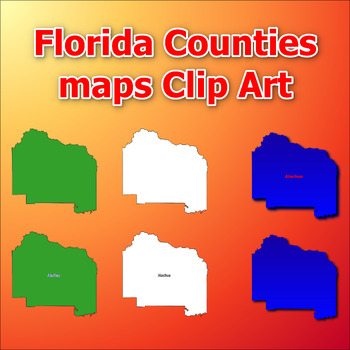
Maps of Florida Counties Clip Art map Color, Black and White Commercial Use
Click Here>>> click here to subscribe to our storeMaps of Florida Counties Clip Art map Color, Black and White Commercial UseThis comprehensive collection of clip art gives you the opportunity to discover and add engaging and informative visual elements to your projects. With a total of 386 clip arts, you'll receive 6 choices for each of the all counties in the state of Florida . Each clip art is in PNG format with a transparent background, giving you the flexibility to easily integrate
Subjects:
Grades:
Not Grade Specific
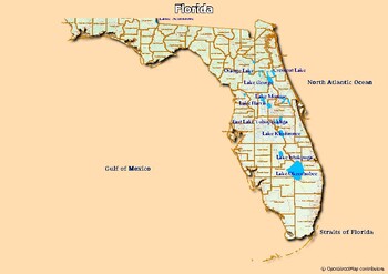
Map of rivers and map of lakes in the state of Florida, USA
Map of rivers and map of lakes in the state of Florida, USAThis material gives you two specific maps, one for rivers and one for lakes, which provide an engaging way of learning about geography.Rivers Map: This map shows the major rivers in Florida. Using a blank map, students can fill in river names on the blank map, developing their geography and mapping skills.Lakes Map: Discover the largest lakes in the state of Florida. Using this blank map, students will be able to identify and mark import
Grades:
4th - 12th, Higher Education, Adult Education
Types:
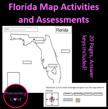
Map of Florida Activities and Assessments (Editable)
This packet includes... -3 types of Florida map assessments with answer keys -types of maps definitions and pictures -types of maps activity/assessment with answer key -Florida map fill in the blank activity with answer key -Florida map word search with answer key -Florida cities fun facts -Florida cities fun fact matching game/center
Subjects:
Grades:
K - 6th
Types:
Empty Map of the Florida State Blank County Lines Activity maps
Click Here>>> click here to subscribe to our storeEmpty Map of the Florida State Blank County Lines Activity mapsThis blank map provides the perfect opportunity for students and educators to explore and better understand the geography of Florida. With no predefined markings or information, the map is completely blank with clearly defined county lines. This feature allows for customization and the addition of specific information desired for each county.The activity encourages student cr
Grades:
PreK - 9th, Higher Education
Types:
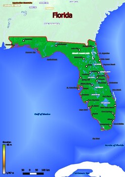
Physical map of Florida with mountains, plains, bridges, rivers, lakes, mountain
Physical map of Florida with mountains, plains, bridges, rivers, lakes, mountains, citiesThis download contains files that may be printed and copied or used digitally.World City MapsBooksPinterestInstagramFacebookTikToK
Subjects:
Grades:
5th - 12th, Higher Education, Adult Education
Types:
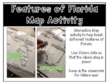
Features of Florida Map Activity
Help teach students the major features of Florida with this interactive map activity. Students place the different features on the poster size map of Florida to practice where these features are located on a map. Features include:Atlantic OceanGulf of MexicoApalachee BayTampa BayLake GeorgeLake Okeechobee St. John's RiverSuwanee RiverApalachicola RiverThe Florida KeysThe EvergladesCape CanaveralTallahasseePanama CityGainesvilleJacksonvilleSt. AugustineDaytona BeachOrlandoTampaMiami
Subjects:
Grades:
3rd - 5th
Types:
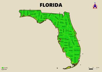
Map of the state of Florida in the USA with regions, counties labeled
Map of the state of Florida in the USA with regions, counties labeledThis download contains files that may be printed and copied or used digitally.___________________________________________________________________World City MapsBooksPinterestInstagramFacebookTikToK
Subjects:
Grades:
3rd - 5th
Types:
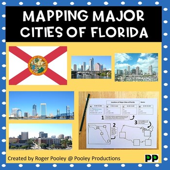
Major Cities of Florida, Mapping Locations activity
This resource has many learning opportunities available. It can be a teaching experience around mapping and using longitude and latitude coordinates. It can be a math and/or geometry supplement to a U.S. State study or project.Students will need access to an atlas or (more preferably) an online map app, such as Google Maps. They may also need access to reference material (online or offline) on the state of Florida.It may be useful (but not necessary) for students to have some understanding of lo
Subjects:
Grades:
5th - 9th
Types:
Also included in: Major Cities of the US, Mapping Locations activities Bundle

Parts of a Map Quiz (Grade 4 Florida Standard)
Parts of a Map fill in the blank quiz
Subjects:
Grades:
3rd - 5th
Types:
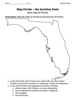
Florida Map / Geographical Map of the Sunshine State
This is a basic map of Florida, including regions, cities, rivers, mountains, etc... Key included.Source: GISGeography.com
Subjects:
Grades:
Not Grade Specific
Types:
Also included in: 50 State Maps Bundle: Geographical U.S. Maps of All Fifty States
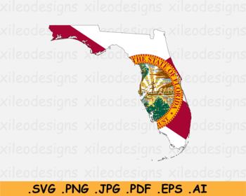
Map of Florida United States FL, USA with State Flag - SVG PNG JPG PDF EPS AI
Map of Florida United States FL, USA with State FlagThis is a digital instant download.Zip file contains individual JPEG, SVG, PNG, PDF, AI, and EPS vector for each graphic element. All files are saved in the highest quality without watermark. SVG, EPS, and AI are vector files that can be resized and scaled to any size without losing image quality.Suitable to use on Cricut. Each color is an individual cut layer.Terms of use:- You are entitled with a royalty free license to use the artworks in al
Subjects:
Grades:
Not Grade Specific
Types:
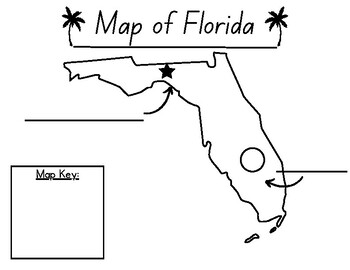
Blank Map Of Florida
This resource is for teaching the map of Florida and map elements. Students can use this map to label lake Okeechobee and Tallahassee.
Subjects:
Grades:
K - 5th
Types:
5 Regions of the United States - United States Regions Activities - US Regions
This 5 Regions of the United States Reading and Map Activity Pack is perfect for teaching this fun and engaging geography subject in 3rd, 4th, and 5th grade! This packet includes close reading passages, graphic organizers, vocabulary, and map activities for the Northeast, Southeast, Midwest, Southwest, and West regions of the United States! What's Included:◻️Close Reading Passages for all 5 regions and an introduction◻️Detailed Steps for a 1st read, including “What’s the gist?” and a Vocabulary
Grades:
3rd - 5th
Types:
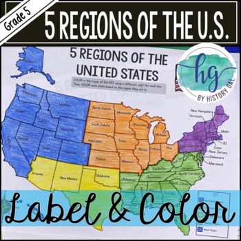
5 Regions of the United States Map Activity (Print and Digital)
Students will label and color a map to help them learn and remember the states in each of the 5 regions of the United States - Northeast, Southeast, Southwest, Midwest, and West. Since state standards vary on the region placement of Delaware and Maryland (some place them in the Northeast while others place them in the Southeast), this download now includes both variations.Version 1 (Delaware and Maryland in the Southeast):Northeast (Connecticut, Maine, Massachusetts, New Hampshire, New Jersey, N
Subjects:
Grades:
5th
Types:
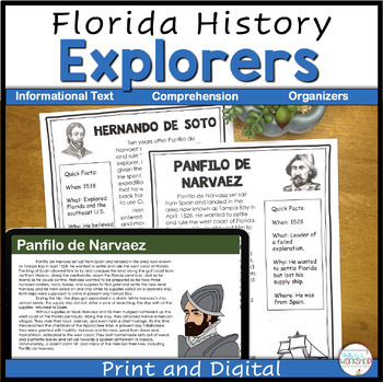
Florida Explorers Digital Reading and Comprehension Activities
Integrate your Social Studies into your ELA block with this Florida Explorers unit. This product is great for independent centers, partners, or whole group social studies lessons. It covers the explorers in the quest for Florida. This product includes a PDF file, Google Slides file, and directions for uploading to Google Classroom. Bundle and SAVE 20% Click here for the Florida History BundleClick here to follow my White's Workshop store! ❤️ This project includes 5 nonfiction text on the follo
Grades:
4th
Also included in: Florida History Explorers Project
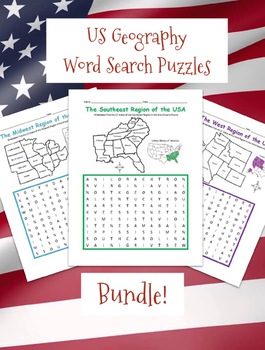
REGIONS OF THE UNITED STATES PRINTABLE MAPS AND WORD SEARCH PUZZLES BUNDLE
Introduce your students to the 5 regions of the United States with this bundle of printable word search puzzles! Each region includes one printable worksheet with a with a simple map of the states (plus answer key). For each region, students will refer to the map to find each state in the Word Search Puzzle!West Region includes Alaska, California, Colorado, Hawaii, Idaho, Montana, Nevada, Oregon, Utah, Washington, Wyoming. Southwest Region includes Arizona, New Mexico, Texas, Oklahoma.Northeast
Subjects:
Grades:
2nd - 4th
Types:
CCSS:
Geography Unit Activities - maps, compass rose, labeling
Enjoy this geography unit packet with several different activities to fulfill state standard objectives. Activities include:
*Fill in the blank with vocabulary words from the unit (geography, birds eye view, compass rose, and more)
*Geography terms word search
*Coloring fun- follow the key to color the continents and oceans as listed at the bottom of the page
*Identify and label directions on a compass rose
*Compass rose quiz
*What is a map key?
*Make a map of your classroom using your own key
Subjects:
Grades:
K - 2nd
Showing 1-24 of 800 results

